The old way to memorize land borders
Ian Lamont
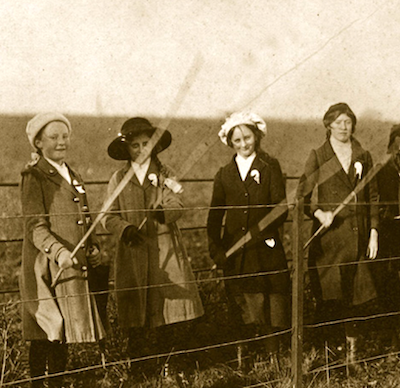
"Maps are only one way of knowing the shape of a place. Before the borders of England’s parishes were definitively mapped, people learned the boundaries of their community by foot. Every year, a few days before the feast of the Ascension, the members of each parish would come together to walk the edge of their common lands." (JSTOR)
")
")
")
")
")
")
")
$77.97$60.97